In the summer of 1911, a U.S. Geological Survey topographer named Mercer was assigned a task that suited his temperament perfectly: mapping the uncharted high country east of Mount Timpanogos in Utah’s Wasatch Range. He was a man who preferred the company of maps and theodolites to people, and the assignment promised months of solitude in the mountains. By mid-June, he and his guide, a fourth-generation rancher’s son named Quentin, were pushing into valleys that existed on official maps only as blank spaces.
The two men had developed an easy rhythm over six weeks of shared work. Quentin was patient with the horses and mules, and Mercer was precise with his instruments. When they came upon a high meadow ringed by spruce and aspen, they decided to make camp. The terrain ahead looked promising for survey work, but the valley they spotted from the ridge gave Mercer pause. It was roughly three miles long and half a mile wide, with a stream running through the center, but something about it felt off.
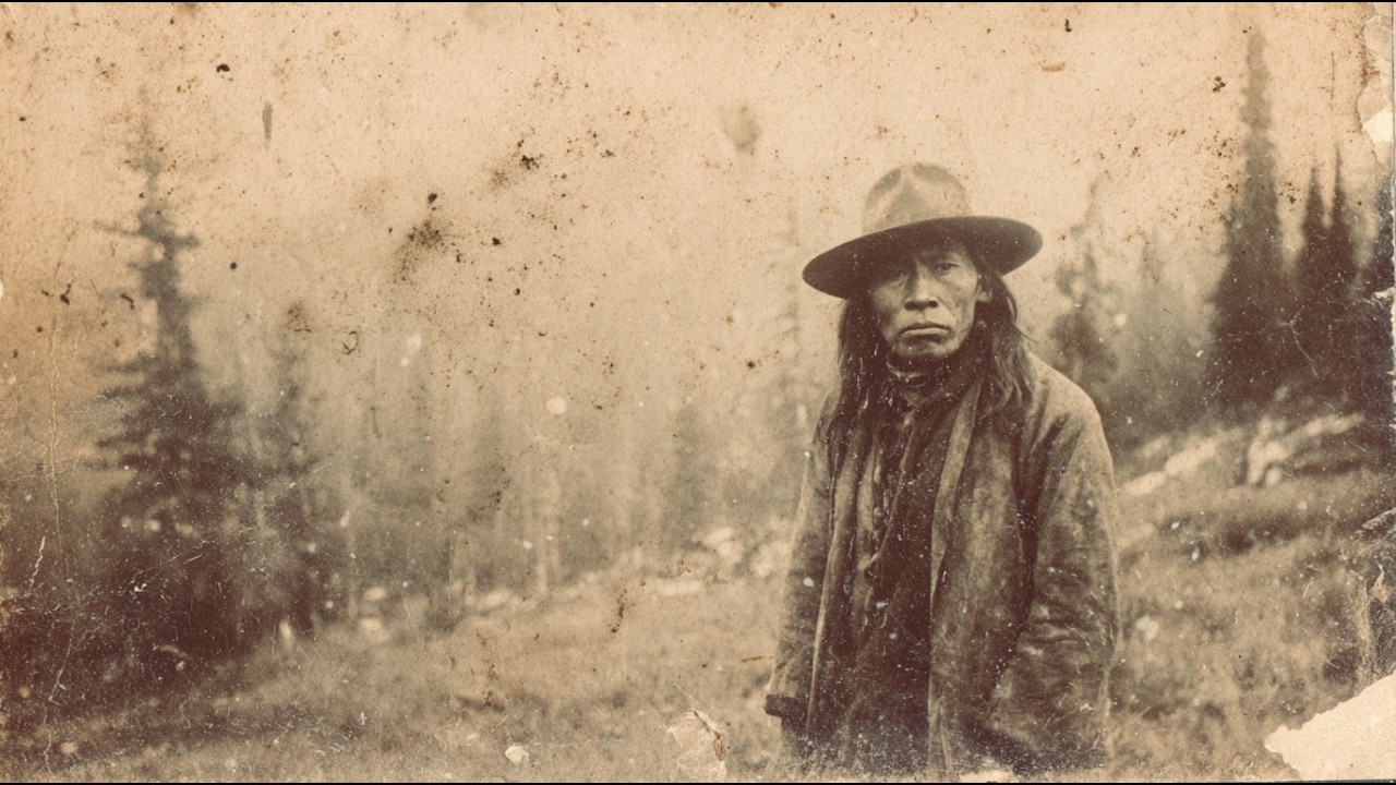
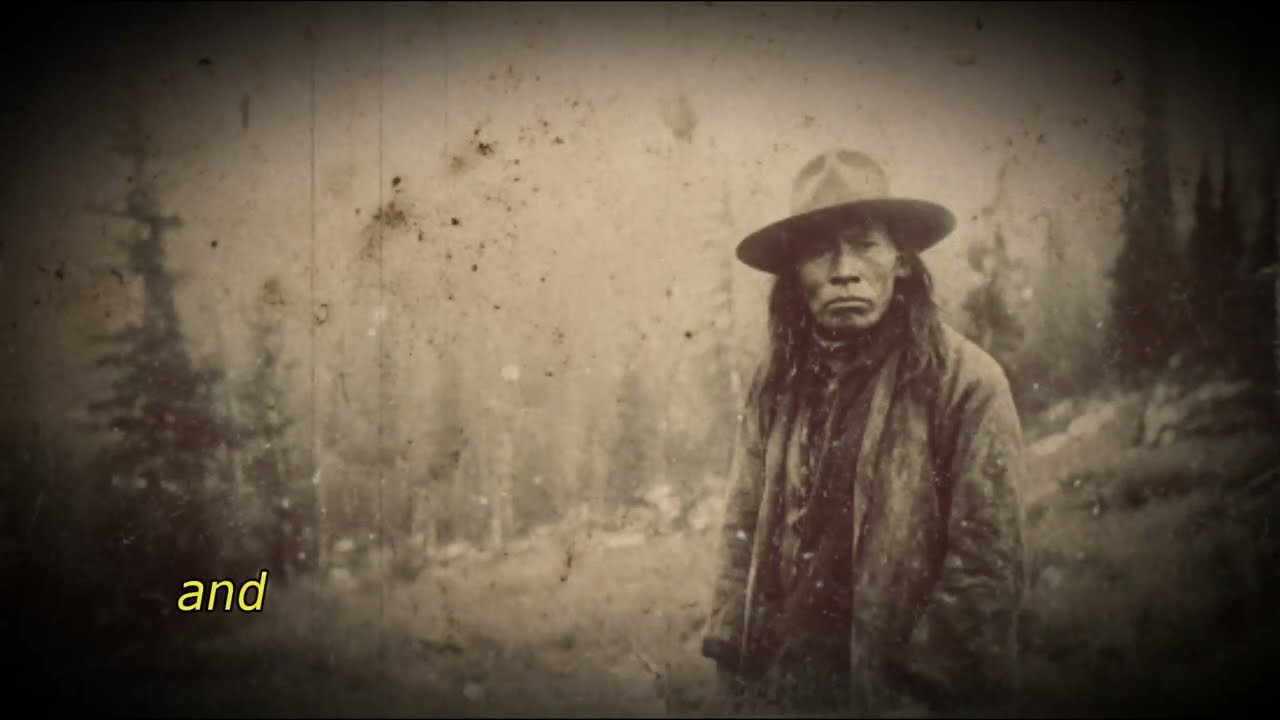
As they prepared to descend, an old man appeared on the trail. He was Native American, and he watched them with the stillness of a deer deciding whether to run. When Mercer asked if he spoke English, the man replied in clear but accented speech. He looked past them toward the valley and said, “That place is not good. You should not go there.”
Mercer pressed for a reason. The old man explained that his people had known the valley for generations, but they had never named it because to name something is to claim it, and no one wanted to claim that place. They had marked it with stone cairns so people would know not to enter. When Mercer asked what made it bad, the old man’s face grew heavy with something older than fear. “Being careful is what white men do when they understand the danger, but you do not understand. You cannot understand until you see, and once you see, being careful will not help you.” Then he turned and walked back down the trail, disappearing into the trees.
Mercer and Quentin descended into the valley anyway. The floor was flat and covered in gray-green scrub, nothing like the lush meadows they had seen elsewhere. The silence was the first thing they noticed. No birds, no insects, no rustle of wind through grass. The stream ran over rocks, but even its sound seemed muted. Mercer’s compass needle spun in circles, refusing to settle on any direction. He told himself it was iron deposits, but the explanation felt hollow.
About a third of the way into the valley, they found the first cairn. The rocks were flat and stacked with deliberate precision. They found two more over the next hour, forming a rough perimeter across the valley floor, as if marking where people were supposed to stop. By mid-afternoon, a faint chemical smell hung in the air, like wet earth and decay, but sharper, more acrid. Mercer attributed it to geothermal features, but the explanation didn’t satisfy him.
That night, the smell intensified until it was strong enough to make his eyes water. Then they heard the sound: not a sound, exactly, but the absence of sound moving toward them. Quentin whispered, “We need to go right now.” Mercer didn’t argue. They ran, scrambling up the ridge in the dark, and behind them they heard wet sliding noises and something that might have been breathing. When Mercer looked back, he saw shapes moving in the valley below, multiple shapes, darker than the darkness around them.
They reached their base camp at dawn. Mercer’s surveying equipment was still in the valley, along with his transit and theodolite, but he couldn’t make himself care. He spent the next three days on the ridge, watching the valley through binoculars, but he never saw anything move. On the third day, he descended alone to retrieve his equipment. He took photographs with a full plate for each shot, knowing they might be the only evidence he would ever have.
The photographs showed nothing unusual, just an empty valley. But in his field notes, on the page for June 19th through June 22nd, he had written only a single sentence in handwriting less neat than his usual script. He never spoke of the valley again, except once to Quentin, who left the survey work after that season and returned to his family’s ranch. Quentin later wrote that he was considering selling his share and moving somewhere far from mountains, somewhere flat, where there were no hidden valleys. Then he vanished without a forwarding address.
Mercer married in 1917 and had two daughters. He never returned to Utah, never tried to locate the valley on a map, and never spoke of what he had seen. But sometimes, on summer nights, he would wake up in the dark and lie beside his sleeping wife, listening to the silence, checking to make sure it wasn’t the absolute kind of silence that pressed against your ears like a physical force.
Modern topographical maps of the area show nothing unusual, just wilderness within the Uinta-Wasatch-Cache National Forest. The valley remains hidden somewhere in the Wasatch Range at about 10,500 feet, surrounded by ridges that keep it from casual hikers. The cairns are probably weathered beyond recognition now, and the indigenous people who warned against the place are mostly gone, their stories dismissed as superstition. But the valley remains, and whatever is in it is still there, waiting.