In 2018, a research team completed the first county-by-county genetic mapping of Central Appalachia, a project never attempted at that scale for the region. The team sequenced over 1,200 individuals drawn from Eastern Kentucky, Southern West Virginia, Southwestern Virginia, and East Tennessee. Every person in the sample had to meet a strict requirement: at least four generations of documented family presence in the same county. That filter deliberately excluded the industrial migrants who arrived during the coal boom and isolated the families who had stayed in the same hollows, creek valleys, and ridge lines since the post-colonial period.
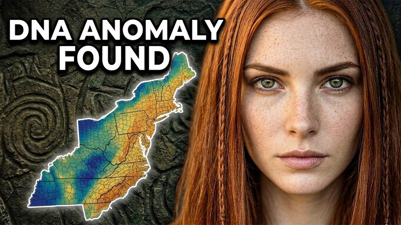
What the team found was unexpected. The Appalachian sample did not cluster with the coastal South, the Mid-Atlantic, or New England when compared against the broader American genetic database. It stood apart as a distinct population signal, recognizable as its own thing inside the borders of the modern United States. The reason for that distinct signal is a biological process called endogamy, the practice of marrying within the same community, valley, and set of surnames across generations.
Endogamy was common in most pre-industrial populations, but what made Appalachia unusual was the duration and the geography. The hollows of Eastern Kentucky and Southern West Virginia are physically isolated, narrow creek valleys bounded by steep ridgelines with limited road access until the 20th century and almost no railroad penetration until the coal industry arrived in the 1880s. Families who settled those hollows in the late 1700s largely stayed there, marrying the family in the next hollow over, marrying cousins, and marrying the children of cousins. The same surnames appear on census rolls of Eastern Kentucky from 1800, 1850, 1900, and 1950: Armstrong, Hall, Elliott, Combs, Mullins, and Breeding.
When a population practices endogamy for 250 years, rare genetic variants become common, and regional markers that would dilute in a more mobile population get amplified instead. The Appalachian genome is not a fresh signal. It is an old signal kept intact, a founding population preserved in amber. Tracing it back to its European source meant tracing the specific founding stock that walked into those hollows around 1780 and never left.
To find where that stock came from, the story moves to a war most Americans have never heard of, not a war between nations, but a permanent, low-grade, multi-generational blood feud along the Anglo-Scottish border. From roughly 1300 to 1600, the border country running from Carlisle in the west to Berwick-upon-Tweed in the east was the most violent piece of real estate in western Europe. The people who lived there raided cattle, burned farmsteads, kidnapped for ransom, and settled disputes through clan warfare outside the legal systems of both crowns. They were called the border reivers, from an old English word meaning robber or plunderer.
Neither the English nor the Scottish crown considered them their own people. George MacDonald Fraser documented the reiver surnames in his 1971 study of the border country. That list reads like a census roll of Appalachia today: Armstrong, Graham, Elliott, Bell, Hall, Johnston, Kerr, Maxwell, Nixon, Robson, Scott, Hume, Crozier, and Burns. These are geographically specific border names that cluster in Eastern Kentucky and Southern West Virginia at rates genealogical researchers have documented as significantly above the national average.
The reivers did not come to Appalachia directly. They took a forced detour. In 1610, King James I resettled the most troublesome border families across the Irish Sea into the Ulster Plantation in northern Ireland. The official rationale was colonization, filling Ulster with loyal Protestant settlers to displace the Gaelic Irish Catholic population that had just lost a rebellion.
The practical reality was simpler: the English Crown was relocating its own domestic problem far enough away to become someone else’s problem. The reivers brought their surnames, their clan loyalties, their distrust of central authority, and their habit of solving disputes without reference to courts or governments. They settled the northern Irish counties of Antrim, Down, Londonderry, and Armagh, and became known as the Ulster Scots, or in American shorthand, the Scots-Irish. In 2017, geneticist Dr.
Edmund Gilbert published a detailed genetic map of the Ulster Scots population as part of the Irish DNA Atlas study. His findings were specific. The Ulster Plantation population is not Irish in the Gaelic sense nor Scottish in the Highland sense. It is genetically continuous with the border English and lowland Scottish population that lived between Carlisle and Edinburgh before 1610.
The transplant moved the people but did not change the DNA. A century later, they would carry that signal across the Atlantic. What pushed them out of Ulster was a cascade: religious persecution from the Anglican establishment, which refused to recognize Presbyterian marriages, baptisms, and land titles; economic collapse driven by English trade laws that deliberately excluded Ulster linen and wool from British markets; and a series of failed harvests in the 1710s. Between 1717 and 1775, roughly a quarter of a million Ulster Scots left through the port of Belfast, landing primarily at Philadelphia.
They arrived with no capital, no political connections, and no welcome from the Quaker establishment that controlled Pennsylvania. The Quakers sent them south down the Great Wagon Road through the Shenandoah Valley into the Carolina back country, and from there into the creek hollows and ridge valleys of southern Appalachia. By 1780, the central Appalachian population was substantially in place. The Ulster Scots migration is the single largest source event for the modern Appalachian genome.
The wagon road put them in the mountains. The hollows kept them there. There is another major non-English stream in the Appalachian genome, the population later called the Pennsylvania Dutch. They were not Dutch.
They were Deutsch, Germans, and they did not come from a random sampling of central Europe. Genetic clustering analysis of Pennsylvania German descendants has identified three source subclusters. The first and largest traces to the Rhineland-Palatinate, the region around Mannheim, Heidelberg, and Speyer. The Palatinate had been the most heavily devastated region of central Europe during the Thirty Years’ War and the subsequent wars of Louis XIV, and the surviving population left in waves.
The second subcluster traces to the Swiss-German cantons, principally Bern, Zurich, and the Upper Rhine. This is the Anabaptist cluster, the Amish and Mennonite founding populations, whose genetic continuity is the strongest of any colonial-era American ethnic group. The third and most overlooked subcluster traces to the Alsace-Baden corridor along the Rhine. Much of Alsace later became French, the descendants stopped identifying as German, and the subcluster disappeared from the family story while remaining intact in the genome.
Underneath the Ulster-Scots signal and alongside the Pennsylvania German stream, the county-by-county data revealed a third source population. A secondary cluster appeared that did not match the Scottish border, Ulster, or the Palatinate. It matched the southwestern English counties of Devon, Somerset, Dorset, and Cornwall. Between 1607 and roughly 1700, the colonies of Virginia and Maryland absorbed between 100,000 and 150,000 indentured English servants, most from London and the southwestern port cities of Bristol, Plymouth, and Exeter.
When their indentures expired, most could not afford tidewater land, so they moved west into the Virginia Piedmont and into the eastern edge of Appalachia. By the time the Ulster Scots came down the Great Wagon Road in the 1730s and 1740s, the West Country signal was already in the mountains waiting for them. Within that West Country layer, researchers identified a smaller, unusually durable Welsh component concentrated in Eastern Kentucky, Southern West Virginia, and the western counties of North Carolina. The Welsh migration was small in absolute numbers, perhaps 30,000 to 50,000 arrivals across the entire colonial period, but it was geographically concentrated, and nine generations of intermarriage with a much larger population still left the signal readable.
One more layer of the Appalachian genome requires careful handling. Roughly one in three families across Eastern Tennessee, Western North Carolina, and Northern Georgia carry some version of the same story: a Cherokee great-grandmother, usually female, usually placed two or three generations back from living memory, usually unnamed. Genetic studies of Appalachian populations have found average Cherokee admixture well below 1%, including individuals with verifiable, documented Cherokee descent. The historian Gregory Smithers, in his 2015 work on the Cherokee diaspora, documented what those stories were often replacing: a free black ancestor made invisible after the hardening of racial categories in the 19th century, a Melungeon ancestor from one of the mixed-race communities of the central Appalachian ridge, a Romani ancestor, or darker-featured European ancestry from Southern Italy or the Iberian Peninsula, socially inconvenient to claim after the nativist movements of the late 1800s.
The Cherokee great-grandmother was the safer story. For someone with Appalachian ancestry who took a consumer DNA test and saw the label British or Irish, the label is not wrong. It is just not specific enough to be useful. The reference databases at 23andMe and Ancestry DNA do not maintain separate categories for Lowland Scots, Border English, Ulster Scots, and West Country English, four real, genetically distinct European populations that feed the Appalachian genome in different proportions.
Because all four are broadly Northwestern European, the algorithms average them together. The specificity is not lost in the DNA. It is lost in the translation. Digging one layer deeper, into Y chromosome haplogroups, makes the signal readable.
Two haplogroups dominate the Appalachian male line. R1b U106, the dominant signal in the modern Netherlands, northwestern Germany, and the eastern half of England, entered Britain with the Anglo-Saxon migrations. R1b L21, the Celtic Atlantic signal dominating Ireland, Scotland, Wales, Cornwall, and Brittany, shows a measurable skew toward a subclade called R1b L21d F13, which reaches its highest European frequency in western Scotland and the Ulster coast of Northern Ireland. The families who moved into the creek valleys of Eastern Kentucky and Southern West Virginia in the late 1700s brought a founding gene pool assembled from three specific corners of Europe, sealed it inside some of the most physically isolated terrain in the Eastern United States, and kept it largely intact for 250 years.
The county-by-county mapping completed in 2018 did not discover a mystery. It decoded one that had been sitting in plain sight inside the surnames on census rolls, the haplogroups in the Y chromosome data, and the family stories passed down through generations of people who knew they came from somewhere specific but had lost the precise coordinates. The border reiver relocated to Ulster in 1610, the Ulster Scot who walked off a ship in Philadelphia between 1717 and 1775, the West Country servant whose indenture expired in Tidewater and who walked west because that was the only direction with unclaimed land, the Welsh settler whose marker is still readable nine generations later: all of them are present in the modern Appalachian genome. The textbook called them Scots-Irish and moved on.
The genome did not move on. It held the record with the fidelity of a closed population in a sealed valley, waiting for the sequencing technology to catch up. Borders move. Bloodlines do not.
The hollows kept the signal. The data finally read it.